Svanemøllens kaserne has historically been located on the outskirts of the city, where the city blocks meet the suburb. Today, the area is percieved as a blank spot on the city map, a secluded island surrounded by infrastructure. It is a militarily secured area and a green lung the size of the city’s largest parks. Copenhagen is changing, with the development of Tuborg port and Nordhavn, Svanemøllen occupies a new central position in the new cityscape.
Our project brings foreward the existing qualities of the area – the greenery and the barracks structure – into a robust and future-proof plan.
Our proposal for the area starts and ends as a park, a park that ensures the qualities of the area from the first development to the finished project.
The master plan is not based on building design, but on the design of a park. We suggest the Star Park.
The Star Park defines development areas, circulation patterns, infrastructure and an attractive iconic green space. Thus, the park ensures a quality during all phases of development, both before and after the final development.
Buildings are located along the border of the site, closest to the city. The main infrastructure is a peripheral ring road connecting everything from the outside in. In opposition to this, a Central Park connects everything from the inside out; stitching the whole area togehter. The park stretches out to the ring road in the shape of a star, creating connections to the surrounding city at the same time as it defines future development areas – the building plots.
Within each of the building plots, the classic building structure from military installations are maintained with a new enclosing structure. Each pocket is given a unique architectural identity, custom program, location and context.
The edges of the star follow the main lines of movement across the area: a cycle path, coupling the two S-train stations, and connecting to the central space of the existing barracks. A continuous loop shapes and defines the pockets and becomes a route for sport and recreation that connects everything.
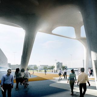
The headquarters of the Defense Intelligence Service are located in the axis of the existing barracks, isolated for security reasons, coupled for accessibility and visible for identity reasons. The architecture breaks the scale of the other subordinated buildings. A visually distinct edifice, integrated into the landscape.
Copenhagen, Denmark
40 000m2 DDIS, 80 000m2 future development.
Development of existing Danish Defence area with a new HQ for the Danish Defence Intelligence Service and future development for the Danish Defence.
Purchased competition entry 2016.
Jens Noach, Adam Kurdahl, Tiago Sjøblom Tavares, Naofumi Namba and Eugénio Cardoso.